


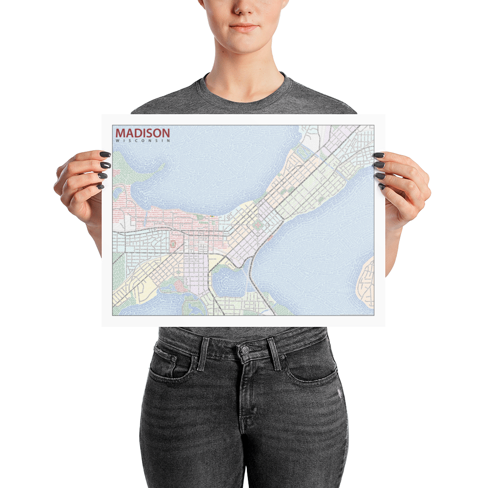
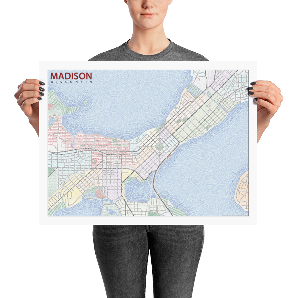

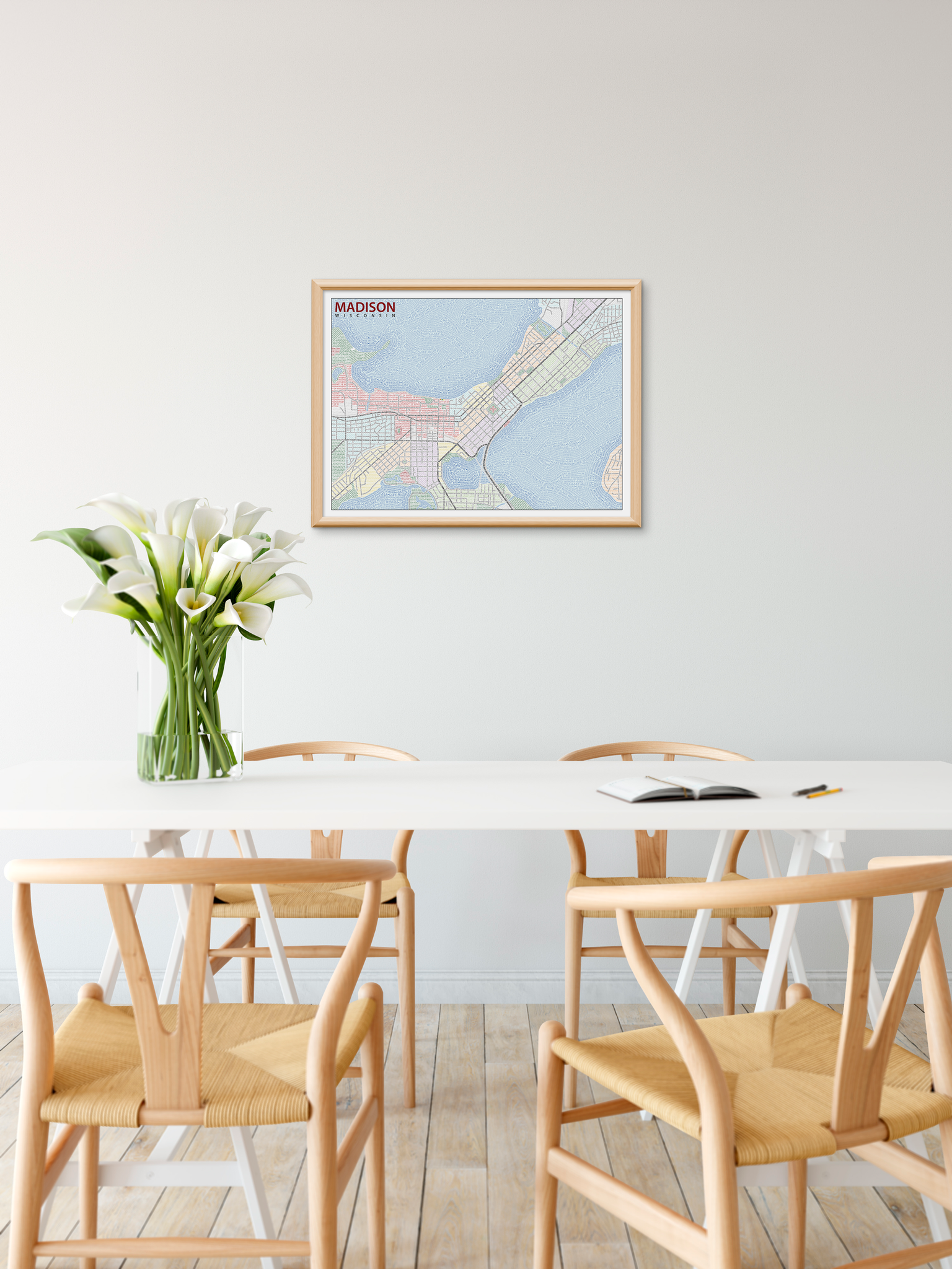

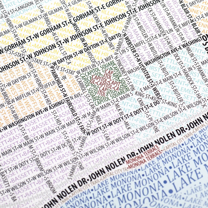
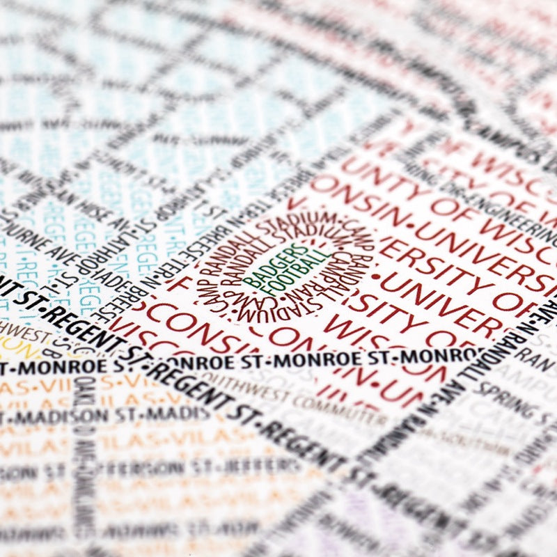
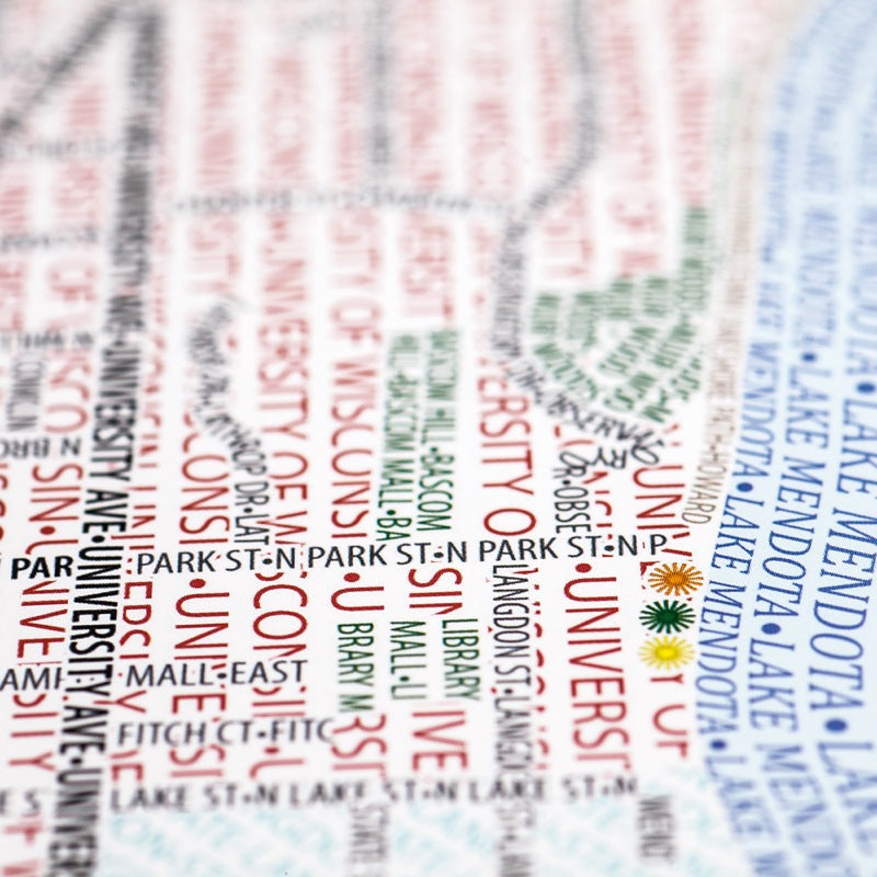

This map accurately depicts the streets and highways, parks, neighborhoods, coastlines, and physical features of Madison, WI using nothing but type. Every single piece of type was manually placed, a process that took hundreds of hours to complete.
The map features Madison's unique isthmus between Lakes Monona and Mendota. The lakes consist of woven, wave-like text, while colorful background text labels the city's neighborhoods on land. The University of Wisconsin-Madison, including its Lakeshore Nature Preserve and prominent Picnic Point, occupies the western part of the map, which extends from there to the Schenk-Atwood neighborhood on the east side.
The map is based on place names and geography as they appear in Open Street Map.