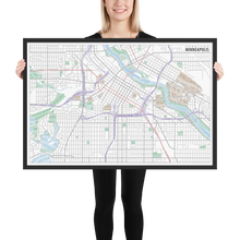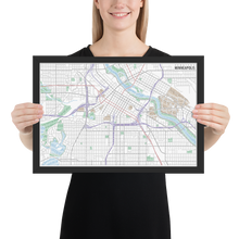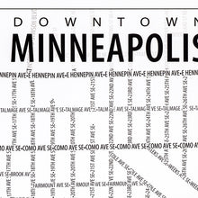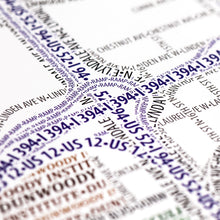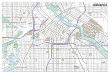
This map accurately depicts downtown Minneapolis and surrounding neighborhoods using nothing but type. Every single piece of type was manually placed, a process that took hundreds of hours to complete.
From Lake Calhoun in the southwest, through the curving Mississippi River and past the University of Minnesota, the streets, highways, rivers and lakes, parks, and institutions of Minneapolis are shown. Text for area features such as parks, institutions, and water is embellished by altering its size and color on every line. Look for the TCF Bank Stadium hidden among the text for University of Minnesota-Twin Cities.
The map is based on place names and geography as they appear in Open Street Map.
• Alder, Semi-hardwood frame• Black in color
• .75” thick
• Acrylite front protector
• Lightweight
• Hanging hardware included


