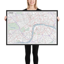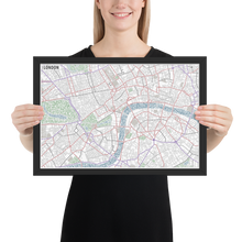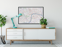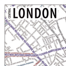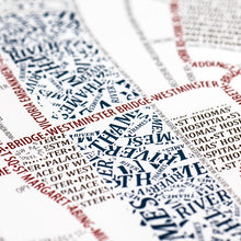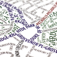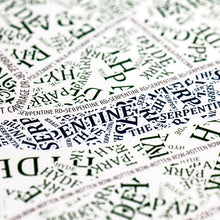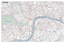
This map accurately depicts the streets and highways, parks, neighborhoods, coastlines, and physical features of London using nothing but type. Every single piece of type was manually placed, a process that took hundreds of hours to complete.
It shows the central London area, with an east-west extent that covers Hyde Park to the Tower of London. It includes all of The City, as well as parts of the boroughs of Camden, Hackney, Islington, Kensington & Chelsea, Lambeth, Southwark, Tower Hamlets, and Westminster. The Thames River meanders through the center of the map. The number of unique streets is greater in London than any other city we've mapped. Even small alleyways are shown, including our favorite name, Frying Pan Alley! Area features such as parks and water are constructed of randomly oriented text that varies in size. In the case of the Thames, this gives the impression of words floating down the river.
The map is based on place names and geography as they appear in Open Street Map.
• Alder, Semi-hardwood frame• Black in color
• .75” thick
• Acrylite front protector
• Lightweight
• Hanging hardware included


