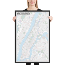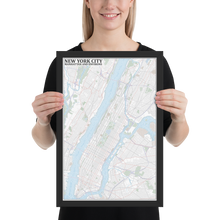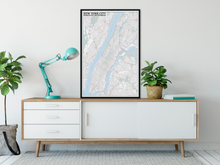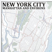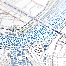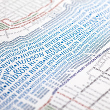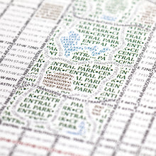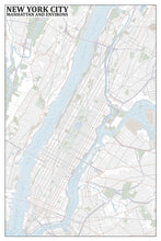
This map accurately depicts the streets and highways, parks, neighborhoods, coastlines, and physical features of Manhattan using nothing but type. Every single piece of type was manually placed, a process that took hundreds of hours to complete.
With around 200,000 characters of our smallest text so far, this map encompasses the dense and detailed streets of all of Manhattan and surrounding sections of Brooklyn, Queens, The Bronx, and several New Jersey cities. Flowing in between with varied type sizes are the Hudson, East, and other rivers. Central Park, appropriately for its name, occupies the center of the map. From large cemeteries in Queens to the High Line elevated park, there are dozens of New York's parks and institutions throughout the map.
The map is based on place names and geography as they appear in Open Street Map.
• Alder, Semi-hardwood frame• Black in color
• .75” thick
• Acrylite front protector
• Lightweight
• Hanging hardware included


