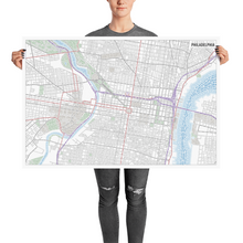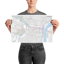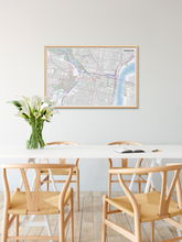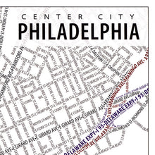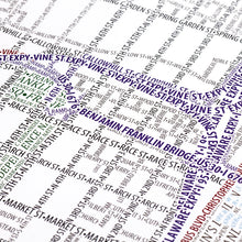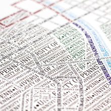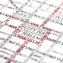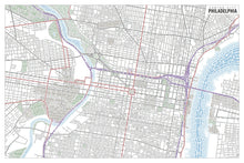
This map accurately depicts the streets and highways, parks, neighborhoods, coastlines, and physical features of Philadelphia using nothing but type. Every single piece of type was manually placed, a process that took hundreds of hours to complete.
It shows the central Philadelphia area, with City Hall, Logan Square and the intersection of Vine and Broad Streets in the center of the map. The Schuylkill River, flanked by The University of Pennsylvania (Penn), and the Delaware River flow along the left and right sides. Text-density is higher here than any other city we've mapped thanks to the map scale, text size, and nature of Philadelphia's streets. Of course, we couldn't leave out the "Rocky Steps" which can be found at the Philadelphia Museum of Art.
The map is based on place names and geography as they appear in Open Street Map.


